
Before our weekly update, we wanted to share that the National Park Service has several grant deadlines approaching. The Underrepresented Community Grant Program grants are due March 31. Learn more about URC or Apply to URC via Grants.gov. The Historically Black Colleges & Universities Grant Program is also due March 31. Learn more about HBCU or Apply to HBCU via Grants.gov. Last, the Tribal Heritage Grant Program deadline is approaching May 5. Learn more about THG or Apply to THG via Grants.gov.
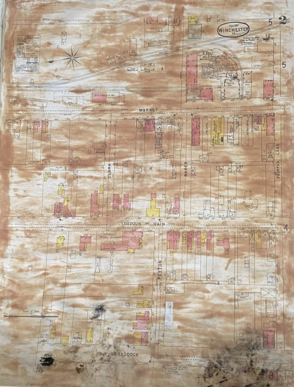
As some of you may know, when we returned to the Hexagon House in 2006 we uncovered a treasure trove of PHW articles that had been left behind in the move to the Kurtz Building. One of those items was the portfolio of colored Sanborn Fire Insurance maps that were used in our presentation to City Council lobbying for the creation of the Historic District. The maps languished forgotten in the basement at the Hexagon House in a damp spot and have been very badly damaged. In addition, the rubber cement used to mount the maps to display boards has also greatly discolored the paper and made the color-coding hard to discern.
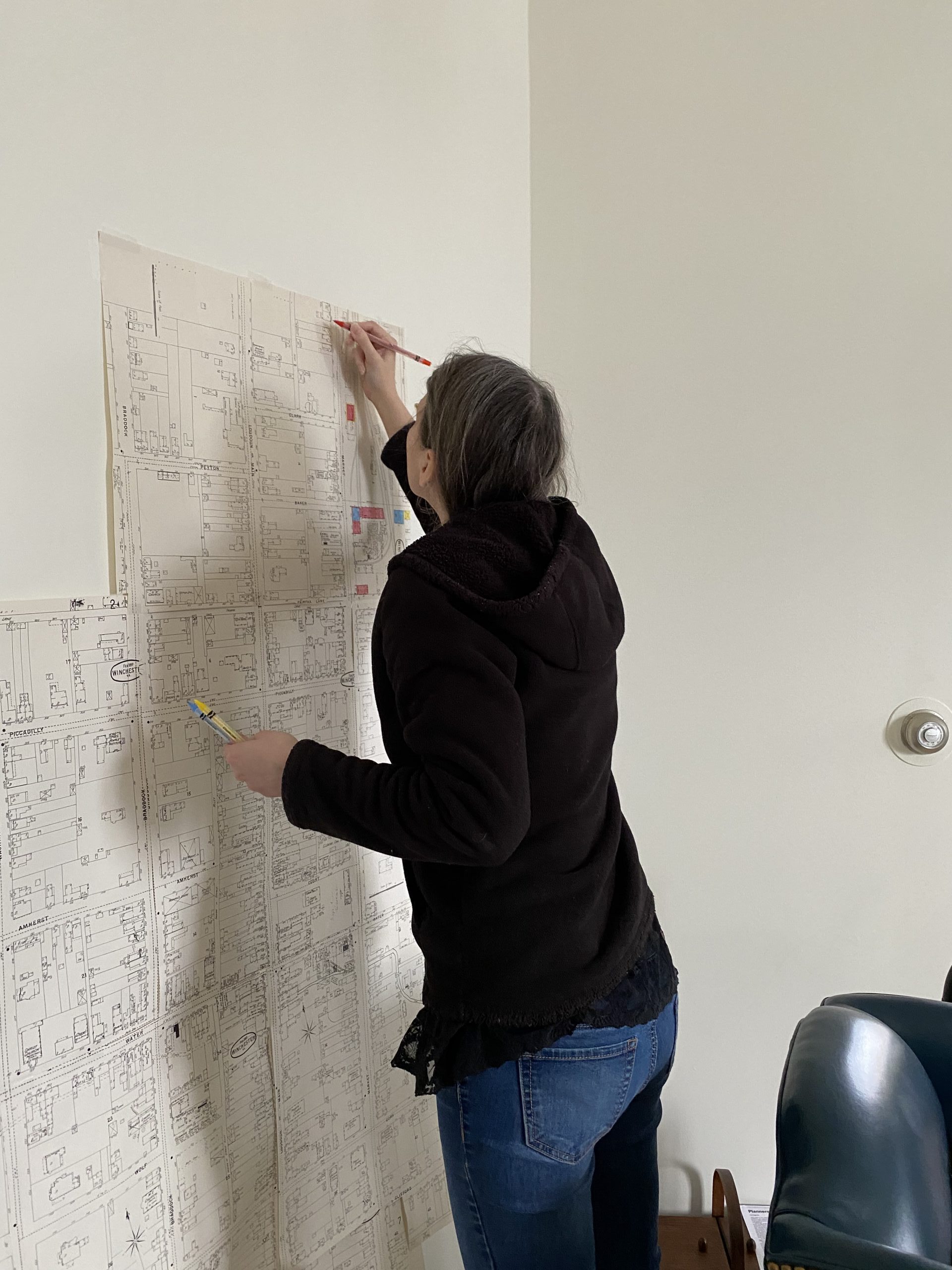
During one intern program several years ago, we assembled the individual 1897 Sanborn map pieces into one larger map. At long last, we have unrolled this assembled map and begun the task of recreating the color-coding from the portfolio sheets on the wall-sized map. While it will not have quite the same feel of a portfolio of individual pages, we hope the fully assembled and colored map will provide the same impact of seeing the amount of historic building stock left in the historic downtown. (We must note, however, that we are exactly recreating the color-coding from the portfolio, and that work in itself was preliminary before the more in-depth architectural surveys of 1974-1976 took place. The color-coding is only for historic purposes and not intended to be a 100% accurate representation of the age, building material, or significance of any property colored or uncolored in the maps.)